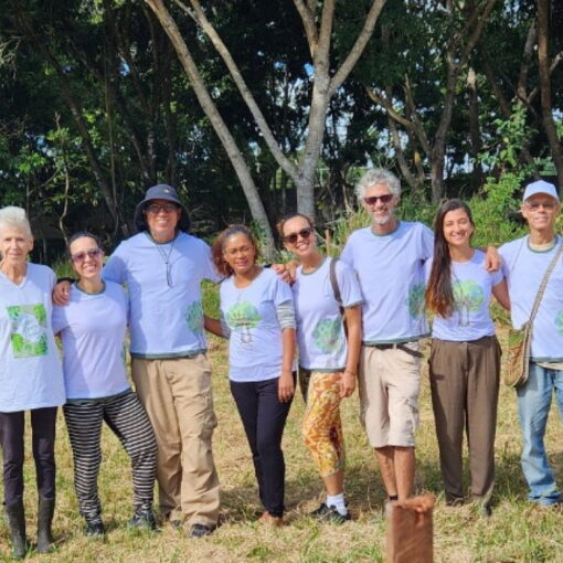
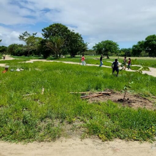
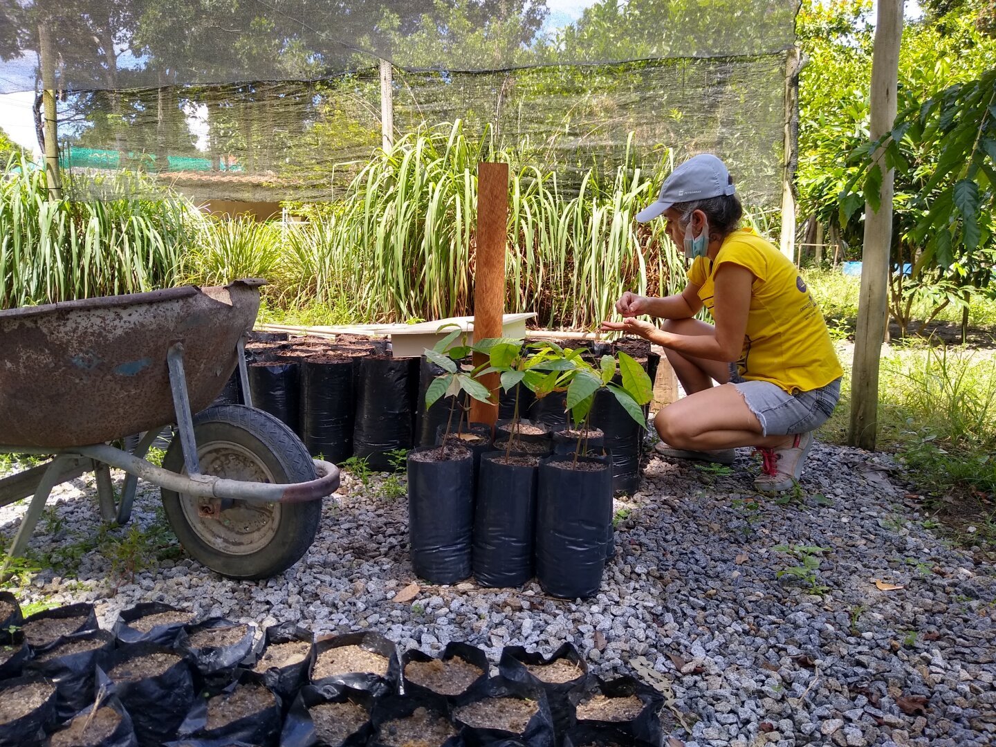
Hello community of Arraial d’Ajuda and Territories!
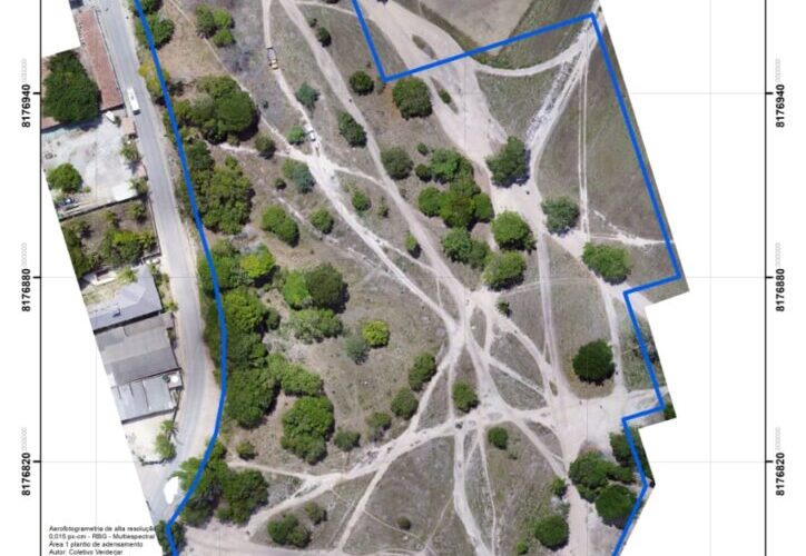
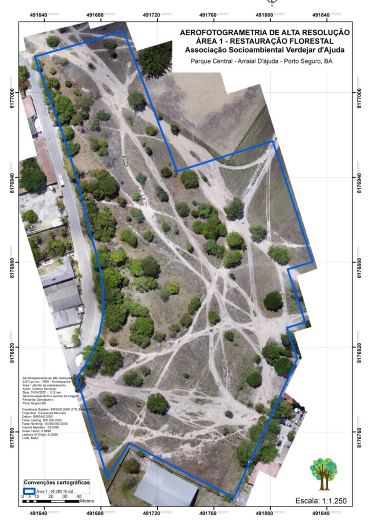
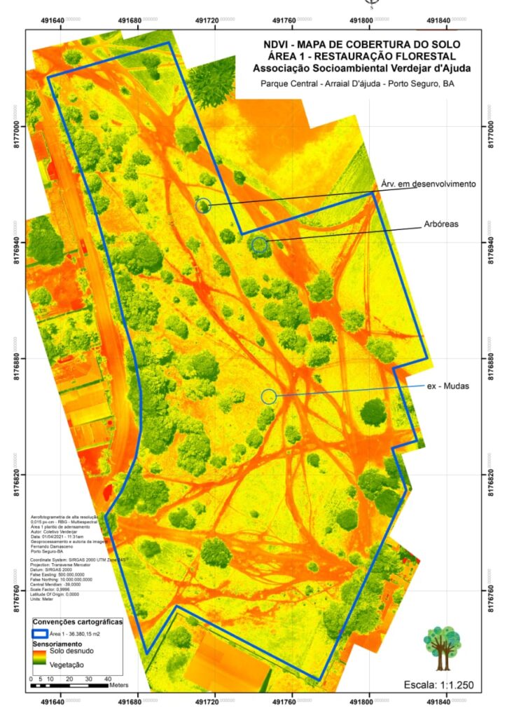
A few weeks ago we had the technical support of Biologist Fernando Damasceno, who carried out an aerial photogrammetry of the Bosque, in Parque Central. We share the maps and take the opportunity to explain what it is and what it means for the project.
Using a precision camera mounted on a drone, superimposed, high resolution photographs were taken of the Bosque Project area and then processed, measured and interpreted. With the development of maps, the main objective is to analyze the land cover: areas with exposed soil (bare), areas of low vegetation and areas of greater vegetation. Note the tree canopy in green.
Over the years, the same aerial photogrammetry can be performed to obtain, thus, another comparative result in images of the planting of trees carried out in the Bosque Project. It will be very interesting and very satisfying to observe this transformation. Our thanks to Fernando Damasceno for obtaining the images, developing and donating the maps.
Verdejar d’Ajuda Socio-Environmental Association